 Coordinate Master 8.8
This powerful geodetic application allows you to convert coordinates between multiple coordinate systems around the world, calculate geoid offsets, and estimate current or historical magnetic fields for any location. The application also includes a calculator as well as surveying tools to calculate point scale factor, grid convergence, offset, inversion, and sun angle. You can also store multiple points and calculate boundary lengths and areas on them, or import/export them to CSV files.
The application uses the PROJ4 library and a lookup file containing projection parameters and data to support over 1700 coordinate systems. Supported coordinate systems include: Latitude/Longitude, UTM, US coordinates (including US State Plane), Australian coordinates (including GDA2020), UK coordinates (including Ordinance Survey), and many others. You can also create your own coordinate system if you know the parameters. The app also supports affine transformations to allow you to set up a local grid system. See details at https://www.binaryearth.net/Miscellaneous/affine.html.
The app can enter coordinates manually or use your current GPS location. The calculated location can be displayed on Google Maps via a web browser with the push of a button. The app also supports MGRS grid references.
You can export any latitude/longitude, UTM, or horizontal Mercator coordinate system to a HandyGPS data file (.hgd) to use as custom data in HandyGPS.
The magnetic field calculation page calculates the Earth's current or historical magnetic field at a given location. The calculated declination is useful for compass navigation as it represents the difference between true north and magnetic north. Magnetic inclination and total strength are also calculated. The tool uses the International Geomagnetic Reference Field (IGRF-13) model. See https://www.ngdc.noaa.gov/IAGA/vmod/igrf.html for full details. Years from 1900 to 2025 are supported.
The app can also calculate the geoid elevation offset for a given location, using the EGM96 model. The geoid offset can be subtracted from the GPS-provided elevation to determine your actual elevation above sea level.
The app also includes a sun angle calculator that can be used to calculate the position of the sun in the sky at any location at any date and time.
- Stickers and emoji - WASticker 2.2.3
 Love Stickers and Emojis for WhatsApp Chats
 - Remote Control For All TV | AI 1.0.8 Build 39
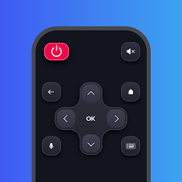 Experience the future of remote technology with our advanced AI-powered app for your Smart TV
 - Powerful RAM Monitor Pro 11.10.2
 A mobile application designed to optimize and improve the performance of Android devices
 - Magisk - Root & Universal Systemless Interface 29.0
 Open source software suite for customizing Android, supporting devices with Android versions higher than 5.0.
 - Hawk Map Pro v2.2
 GPS and coordinate systems helper especially for military personnel
 - Folder in Folder 1.5.0
 You can now organize your apps into subfolders
 - Color LED Flashlight & FLASH v2.3.9
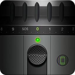 Fast and brightest flashlight app that uses bright LED flashlight and adjustable screen light dimmer
 - Bluetooth Keyboard & Mouse Pro 6.17.3
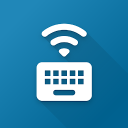 Turn your device into a hostless Bluetooth keyboard and mouse - no additional software required
 - Battery Ace Pro 2.2.4 full
 A beautiful customizable widget to keep detailed track of your battery level percentage.